Agriculture contributes one-third of the national GDP in Nepal (CBS, 2016), 23% in Pakistan (Plecher, 2019), and 17% in Bhutan (NSB, 2018). It employs 65%, 60%, and 44% of the population in Nepal (CBS, 2016), Bhutan, and Pakistan (FAO, 2019), respectively. Agriculture is immensely affected by climate change (CC) in these countries. Climate-smart agriculture (CSA) has been identified as a sustainable solution to CC challenges in agriculture; however current efforts in CSA limit to conventional planning, extension, and dissemination approaches. The effective adoption of CSA requires smart, informed decisions for which the application of geospatial and other information technologies is crucial. The proposed projectaims to integrate geospatial technologies in the CSA planning and management in Bhutan, Nepal, and Pakistan with the ultimate goal of mainstreaming this technology in the local and national planning process. Specifically, the project will assess the potential application of geospatial tools for CSA management in the selected watershed; enhance capacity for application of geospatial techniques for the best/innovative CSA planning and management (70 individuals in Nepal and 40 each in Bhutan and Pakistan), and establish working stations in selected places to institute effective communication and information sharing.
Project leader

Project collaborators


Project publications

Integrating geospatial technologies in climate-smart agriculture planning and management: A review focused on South Asia

Climate-Smart Agriculture and Geospatial Applications Training Module
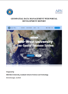
Geospatial Data Management Web Portal Development Report

Final Report: CBA2020-13MY-Thakuri

Capacity Building on Integrating Geo-spatial Technologies in Climate-smart Agriculture in Bhutan

Four-Days International Training Workshop on ““Integrating Geospatial Technologies in Climate-Smart Agriculture Planning and Management in South Asia” from November 25 – 28, 2023 at Biratnagar, Nepal

Four-Days International Training on “Integrating Geospatial Technologies in Climate Smart Agriculture Planning and Management in South Asia” from November 7 to 10, 2023 at Birendranagar, Nepal


