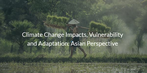
Climate change has made river flows of major Asian Rivers highly variable and peaks of melt water occur much earlier than normal. Changing weather patterns have increased the vulnerability to hydrological extremes and hence hampering food production. To ensure sustainable development, an integral approach covering entire components of water cycle (including snow, ice, rainfall, soil moisture, groundwater, and stream flow) in the light of future climate scenarios, is need of the time. The GEOSS Asian Water Cycle Initiative (AWCI) has been developing an integrated system employing datasets from satellites, in-situ and numerical models output, which is attracting public interest and attention of policy makers. Capacity of individual scientists and institutions will be developed on using GCMs output, downscaling methods, ensemble approach, bias correction, basin scale scenarios, hydromet modelling and decision support system. Based on the recognized needs, the project expands the AWCI activities focusing on water cycle variability in glacier and snow fed basins. As part of year 1 activity, the kick-start of this project took place at the 9th Meeting of the GEOSS Asian Water Cycle Initiative-International Coordination Group (AWCI ICG) and the 2nd AWCI Climate Change Assessment and Adaptation (CCAA) Study Workshop held in Tokyo 29th September to 2nd October, 2012.
Project • CBA2012-03NMY-Rasul, CBA2013-01CMY-Rasul


